JMap Survey
8
2.3.0
2024-11-16
Latest Version
Data collecting
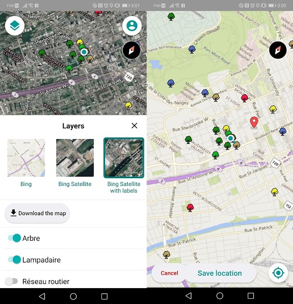
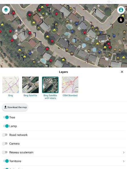
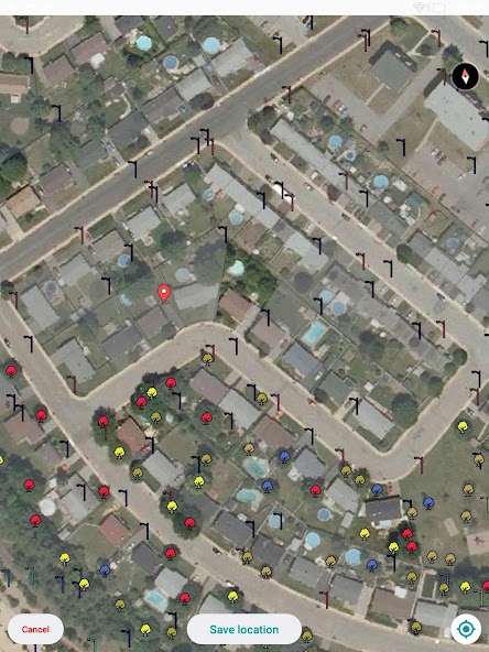
JMap Survey connects to JMap Server (requires a license). The application allows to go to the terrain and to collect geospatial data for the creation of inventory or inspections.
JMap Survey Features:
- Access to all your JMap projects
- Availability of Base Maps (Bing Maps, OpenStreet Maps)
- Works in Online and Offline mode
- Uses smart forms created using JMap Admin
- Capture images during the gathering of information
- Use of GPS Data from the device or a connected external device.